

Homeowners in Bognor Regis are being advised to check the exact legal status of their property boundaries following new guidance from HM Land Registry.
The updated guidance, issued on 2 October 2026, clarifies a common misconception: that the red line on a property’s title plan represents the precise legal boundary. For those living alongside public roads, footpaths, or grass verges, the reality is often more complex, as the red line is only intended to show the general position of a boundary.
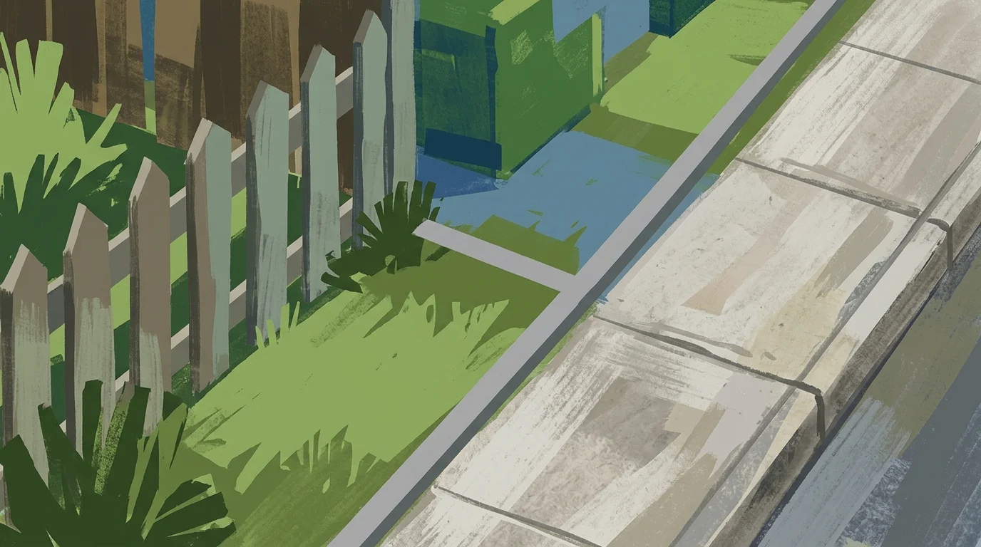
Under the Land Registration Act 2002, the “general boundaries” rule means that title plans are not accurate to the centimetre. This becomes particularly significant when a property borders a public highway, where the authority’s jurisdiction may extend beyond the tarmac of the road itself.
What counts as a highway?
A public highway is not limited to the road surface used by vehicles. It can frequently include grass verges, pavements, and even small strips of land that may appear to be part of a private garden or driveway.
Under Section 263 of the Highways Act 1980, the local highway authority—which for Bognor Regis is West Sussex County Council—is responsible for the surface of the highway. This legal control also extends to the subsoil and the airspace required for the ordinary use of the road.
This means that even if a homeowner believes they own the land under a pavement or beside a road, the council may have the legal right to control how that land is used or modified.
Practical steps for Bognor homeowners
For residents planning to move a fence, install a new driveway, or build an extension near the road, identifying the exact extent of the highway is a necessary first step. Relying solely on a Land Registry plan can lead to legal disputes or orders to remove structures that encroach on public land.
To clarify maintenance responsibilities and boundary limits, residents can use the FindMyStreet tool, which identifies which authority is responsible for specific stretches of road and includes updated highway boundary layers.
In West Sussex, the county council provides a formal service for highway boundary enquiries. Residents in Bognor Regis can contact West Sussex County Council directly on 01243 642105 or use the council’s online highway boundary information request form.
While simple enquiries may be handled quickly, official boundary searches provide a definitive plan of the highway extent.
Understanding these limits is essential before starting any work. If a new fence or wall is found to be situated on land that forms part of the highway, the highway authority has the power to demand its removal to ensure the safety and accessibility of the public route.

